When I joined Shelter Associates as a fresh Architecture graduate, I had no idea how deeply it would change how I approach design. What I found wasn’t just an NGO doing impactful work in sanitation and housing. I found an organisation that treats data and GIS as its very foundation, a place where evidence leads.
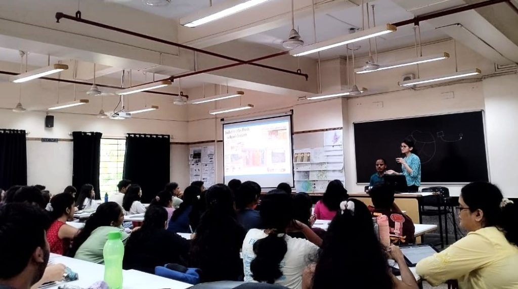
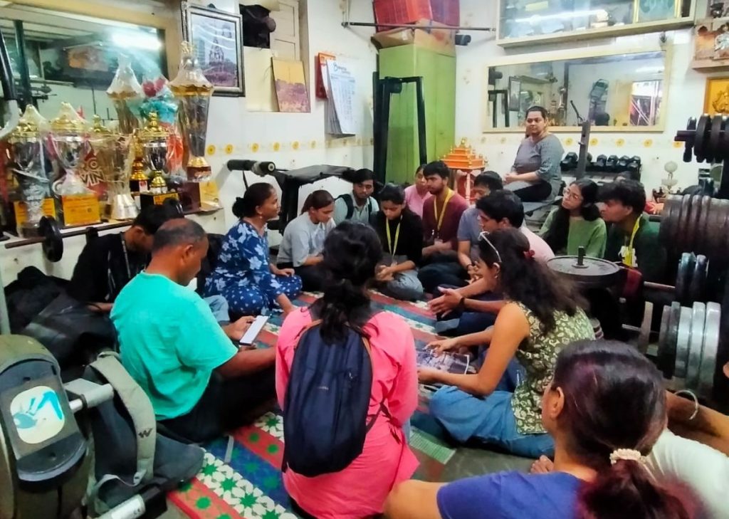
Here, planning begins not with a proposal, but with a map. At work, I have spent countless hours digitising informal settlements in every house, toilet and drainage lines which builds the groundwork for projects that eventually impact thousands of lives. During this time, I also participated in the LSR workshop, where we applied these mapping and field methods in real-time exercises, consolidating data, engaging with residents, and testing our skills in a hands-on setting. Each layer has a story to tell, like the absence of a water tap here or high concentration of women headed households there. And when these layers come together, they reveal urban patterns that truly matter, especially in places that are outside the realm of formal planning by authorities.
But what I find the most remarkable is how deeply entrenched this spatial and data driven thinking is across the organisation. Architects, planners as well as field researchers all rely on a shared geospatial language. Our sanitation interventions are shaped by multicriteria analysis, by combining demographic data, infrastructure gaps and people’s requirements. These dashboards then become tools for city officials to make data-backed decisions. This way even funders begin to see how every rupee can be targeted and used with precision.
For me personally, what really makes this work truly meaningful, is not just the accuracy but the empathy with which we approach the data. Every household surveyed is approached with respect. Every map is grounded in reality with the help of community input. I have seen how residents light up when they see their neighbourhood mapped for the first time.
GIS isn’t just a skillset, it is a form of visibility and justice. And at Shelter, it’s not an afterthought. It’s the starting point, the beginning for us. Working here has taught me that true planning doesn’t just begin on the drawing board. It begins in the field, in the data, in the messy complexities of real life. By treating GIS and data as our foundation we make sure that our work is not only precise but accountable, inclusive and human centric.
– Anushka Nagle
Architect