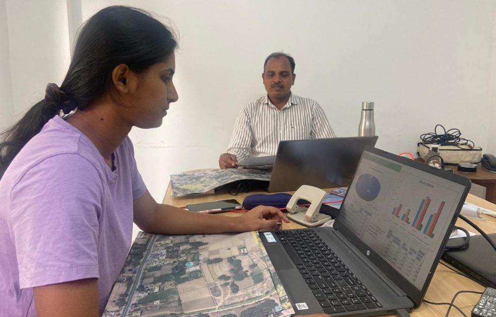
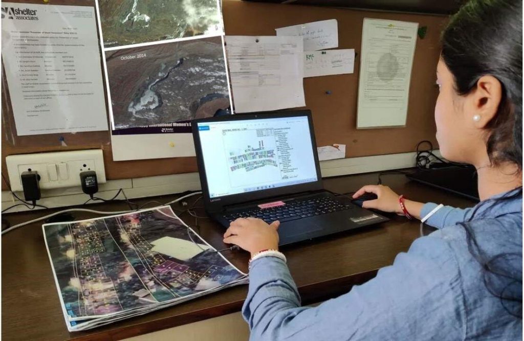
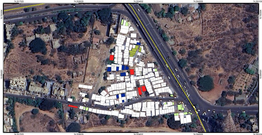
Granular spatial data
Geo-visualization for Social Impact
SA pioneered the use of Geographic Information System (GIS) technology & Google Earth for poverty mapping in the late 90’s. We create granular spatial data by mapping settlement patterns and infrastructure in and around each target slum. This spatial data is supplemented with survey data collected at the household level and analyzed to identify the most vulnerable population and plan targeted interventions. The data is finally validated by the Municipalities we work with to add legitimacy to it and sharing this data in the public domain amplifies its utility. Granular spatial data helps us to leverage the power of geo-visualization for effective tracking and monitoring.
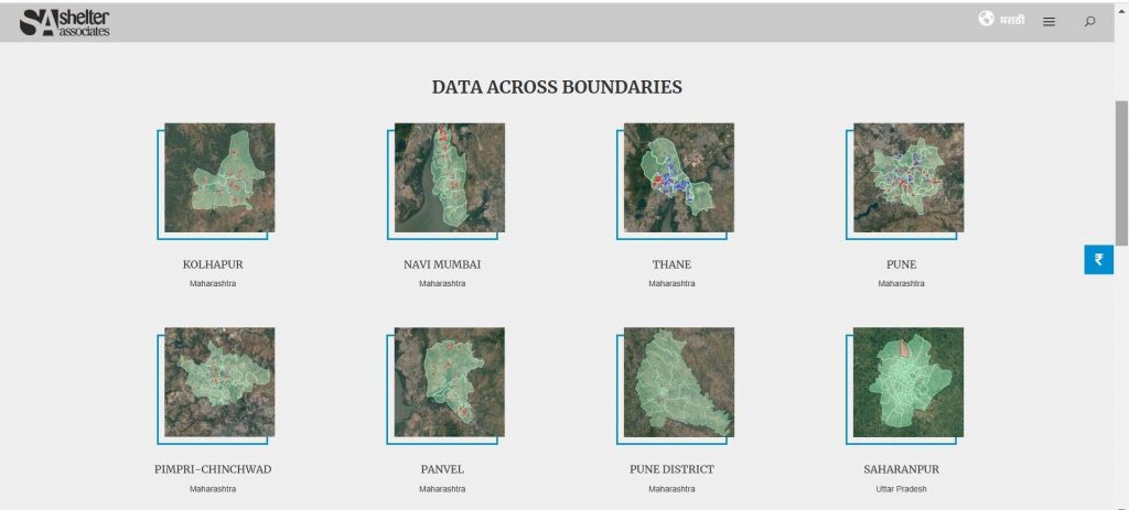
data across boundaries
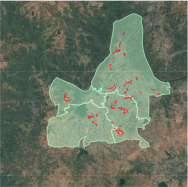
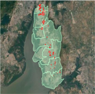
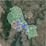
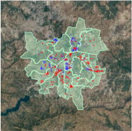
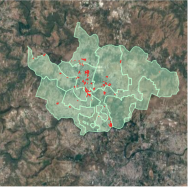
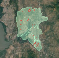
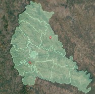
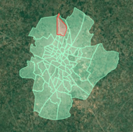
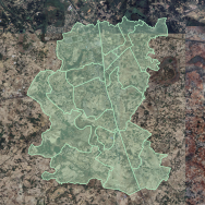
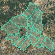
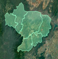
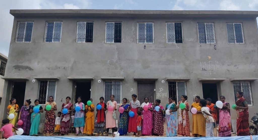
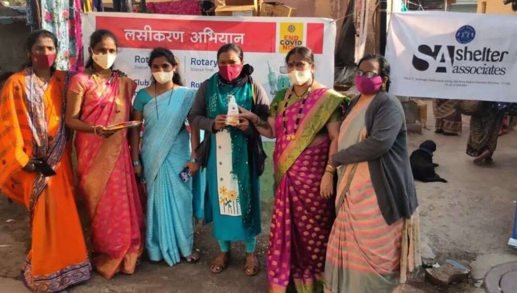
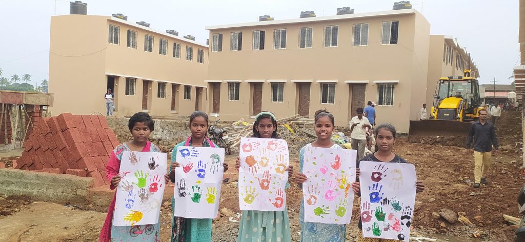
photo gallery


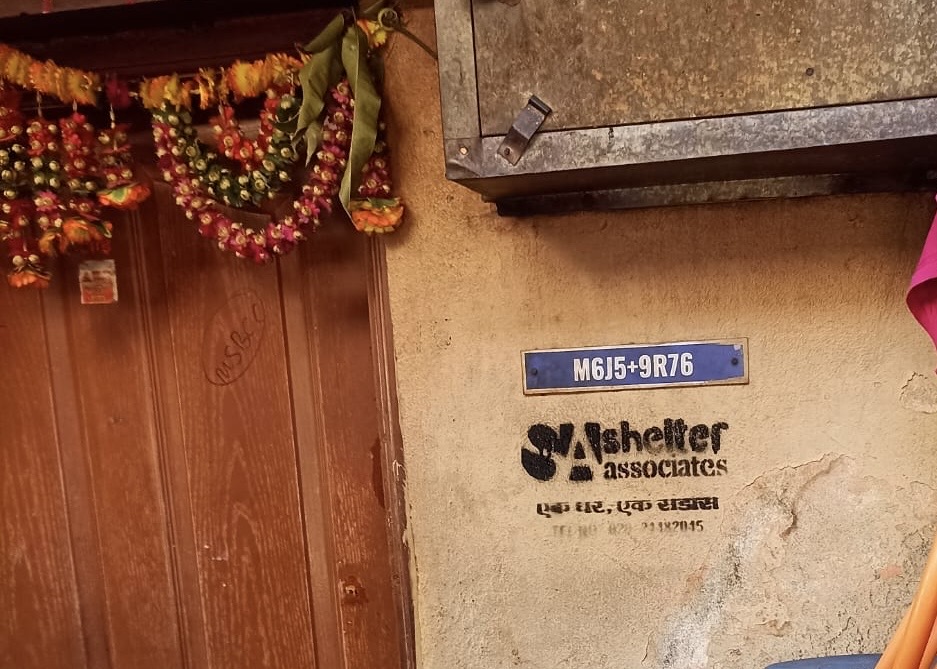
Shelter Associates
SA was founded by architects in 1994 with a passion to ensure equitable access to essential services for the urban poor. SA follows a data-driven, multistakeholder approach to designing and implementing community-centric solutions around sanitation and social housing issues. Know More
Subscribe to our Newsletter!
Contact
+91 8087607545
info@shelter-associates.org
'Kanha', Plot. no. 340, lane no. 18, Mahatma Society, Kothrud, Pune - 411038